Verdict: NOT a gimmick
Distance: 14km one way
Best for: Walkers, runners, cyclists, puppy dogs
Watch out for: Wind, snakes in summer, flooding
This is a newly constructed trail that stretches 14km from Inverloch to Wonthaggi (14km end to end. 28km if you’d like to go out and back!)
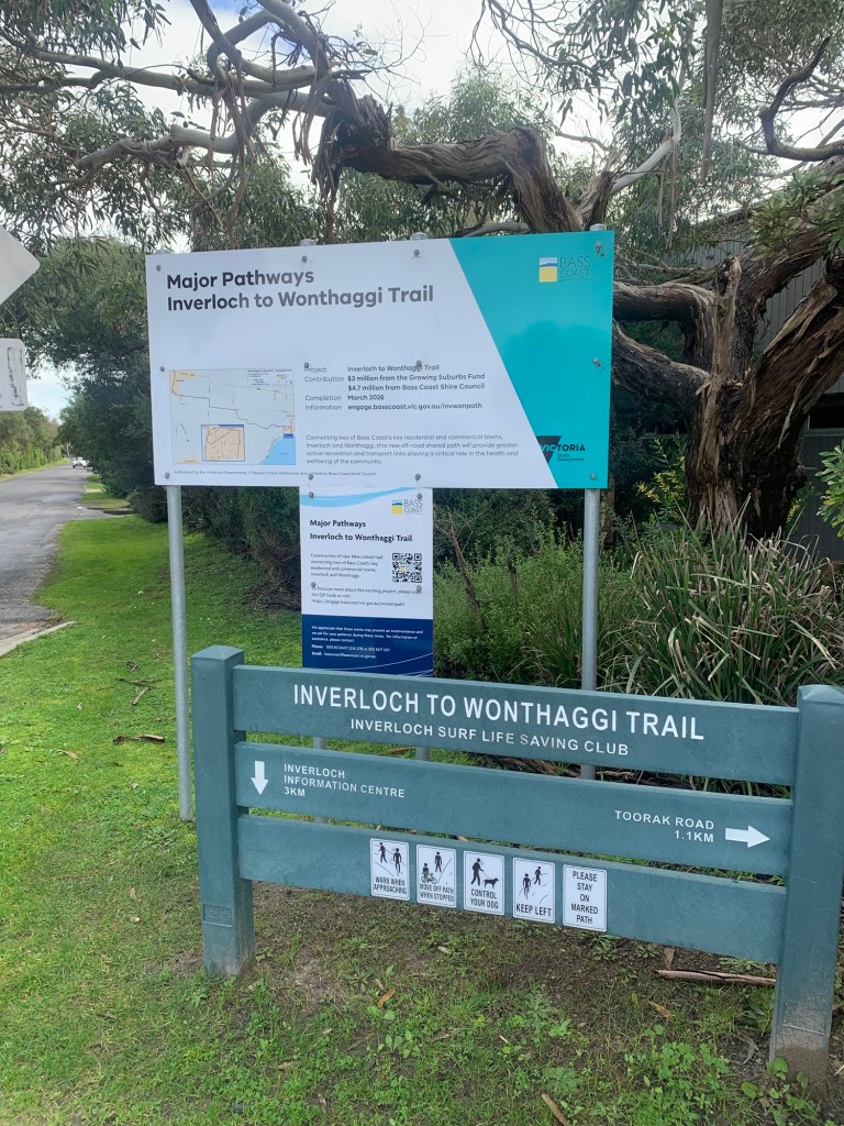
It starts/finishes at the Inverloch surf life saving club. As far as I could tell, this was the official start/end point and trailhead (pictured below) which is good for plenty of parking and a pre run/walk poo if you need.
The trail then finishes in Wonthaggi. I got a bit confused on the official end/start point of the Wonthaggi end but I believe the Wonthaggi information centre to be the official start/end point (also plenty of parking and loos).
The trail joins on to the bass coast rail trail, so actually keeps going on from Wonthaggi if you’re feeling energetic, which will take you to Kilcunda and beyond.
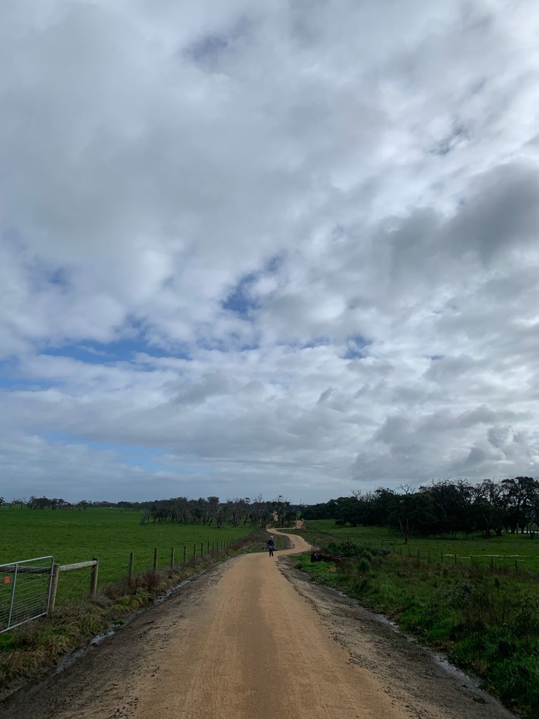
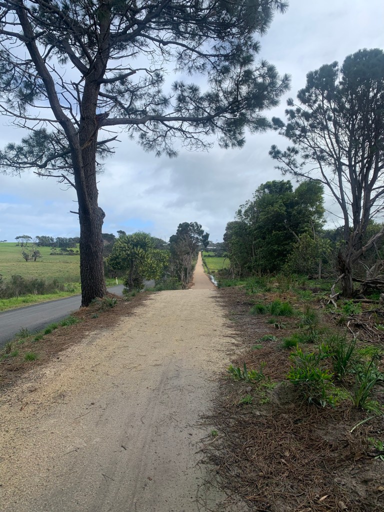
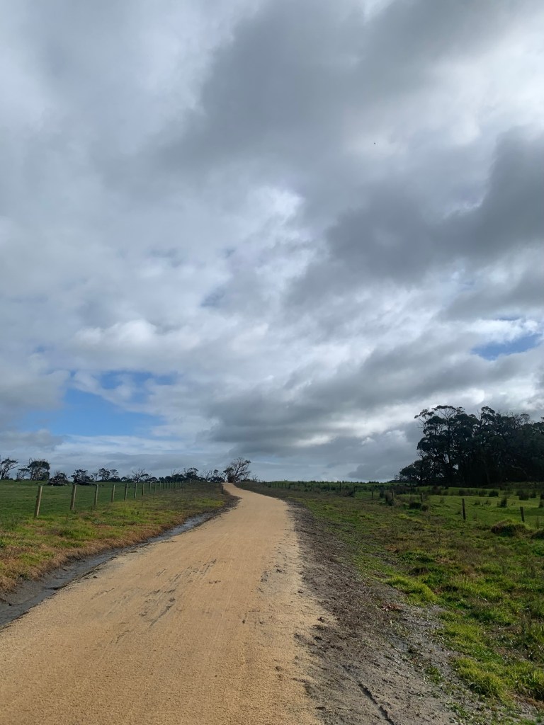
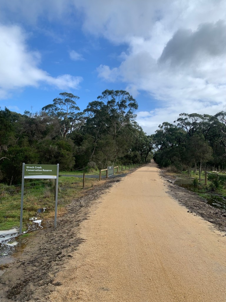
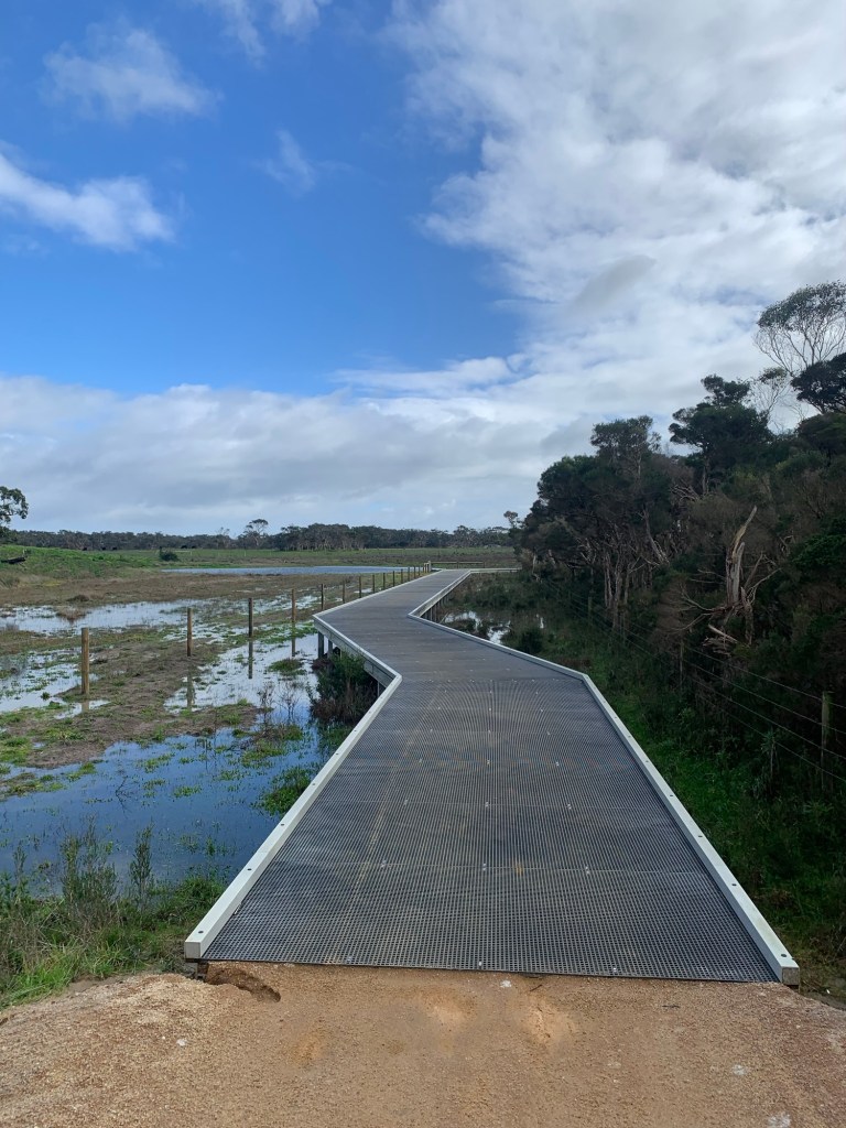
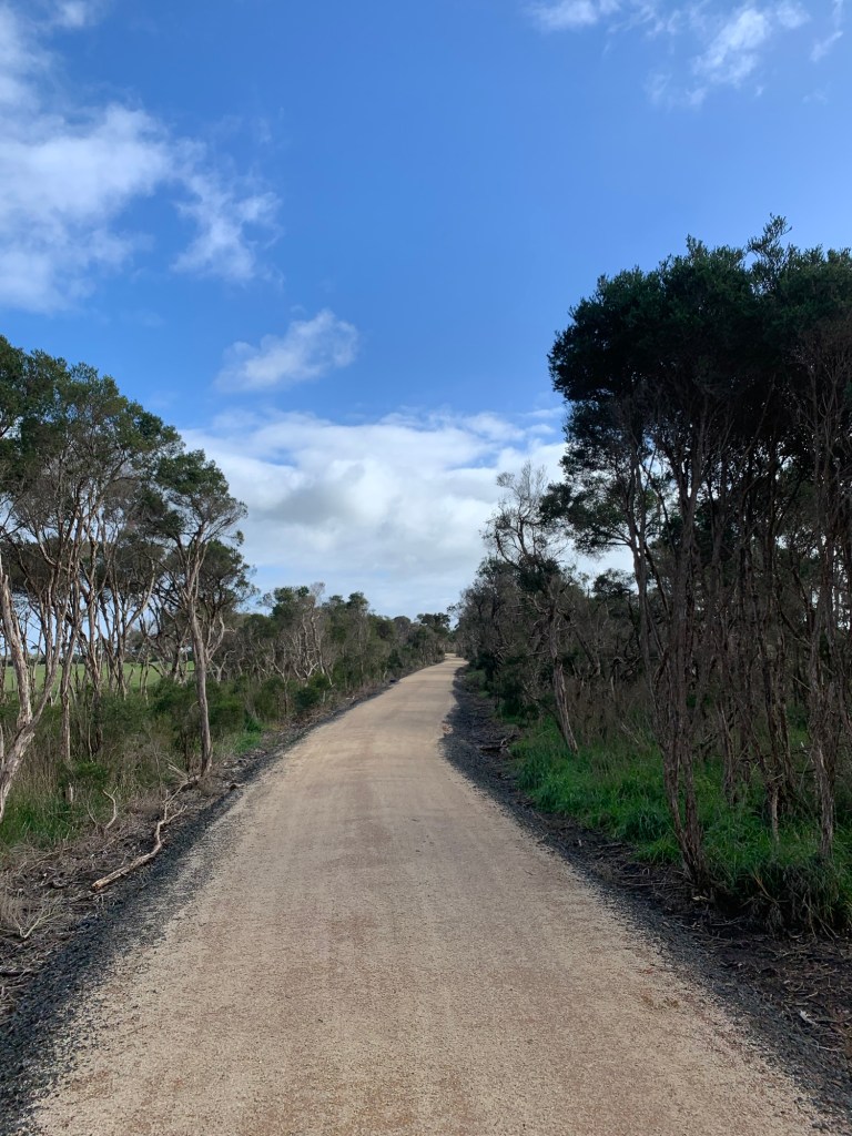
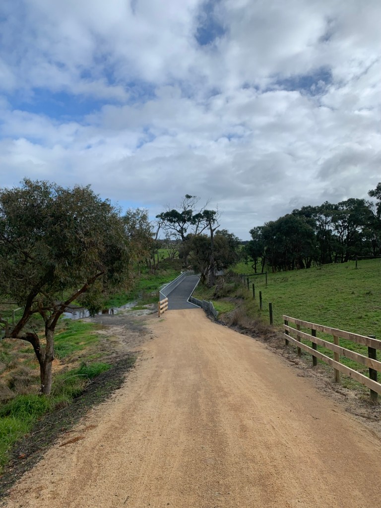
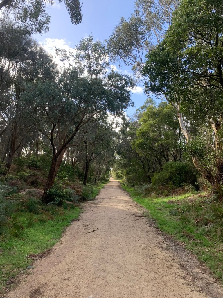
I ran the trail starting from the Inverloch surf life saving club and finishing at the Wonthaggi information centre. Overall, I really enjoyed the trail, winding through nice views of farmland and small forested areas. It was easy to follow with good signage. It’s mostly gravel, with small concrete sections and some bridges. It’s a fair distance away from the coast so don’t expect any amazing ocean views. I’d recommend doing the opposite of what I did because I’m an idiot, and start in Wonthaggi, otherwise you’ll most likely be heading right into the wind. It’ll also feel a bit more downhill going that way. There are a couple of small road crossing to keep in mind for kids or your stinky puppy dogs. I also can picture it being a bit snakey in warm weather, so something to keep in mind, but the trail is quite wide and open so you should spot one a mile away if they’re out.
I’m thinking this is a trail that might need a fair bit of regular maintenance as I can see it to be a bit floody in winter and long rain patches, as some of the trail is quite lowland, but I hope this won’t be a problem.
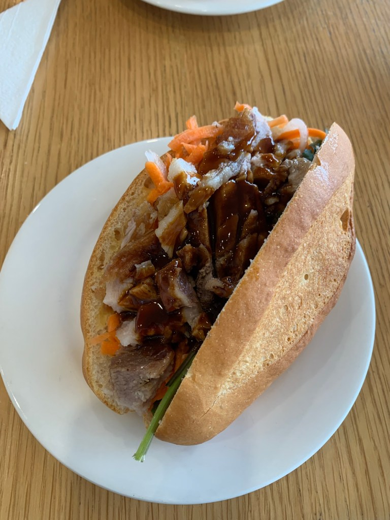
My run was rewarded with a delicious banh mi at the finish line.
Here’s a map of my run if you need visuals like me: https://strava.app.link/9MGatMfh74b
Have you done this trail? Which way did you go? Drop a comment below if you have any questions, I’ll be happy to answer.
 Is it a gimmick?